Vermont-NY State Line
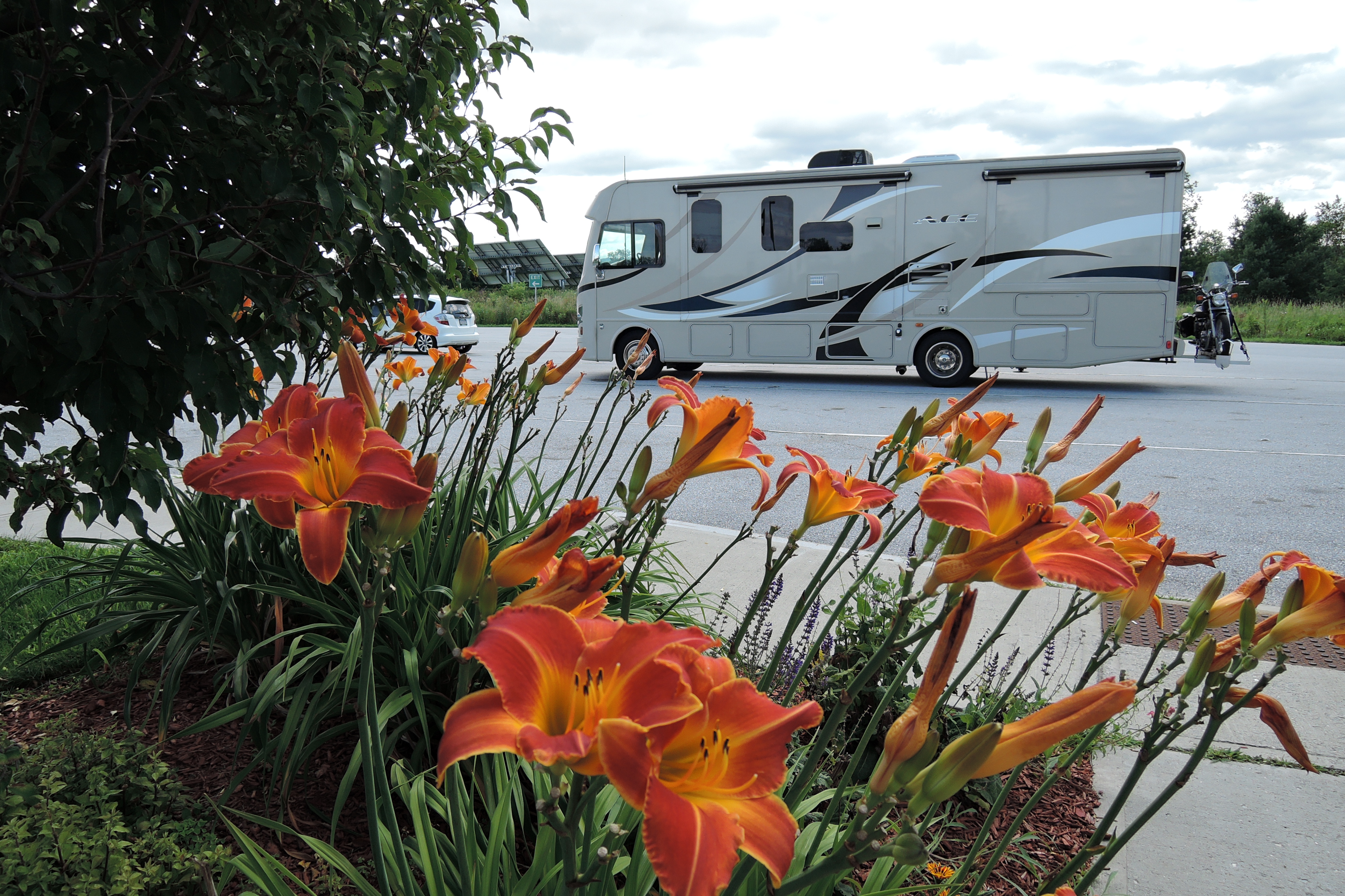
After a weeklong visit in Vermont, we headed west and settled in for a good long drive toward home. It’s a 1000 mile trek, and I looked for an interesting route that would take us home without having to scale too many mountains. We ended up following a course of waterways, starting with the Mohawk River in New York State.
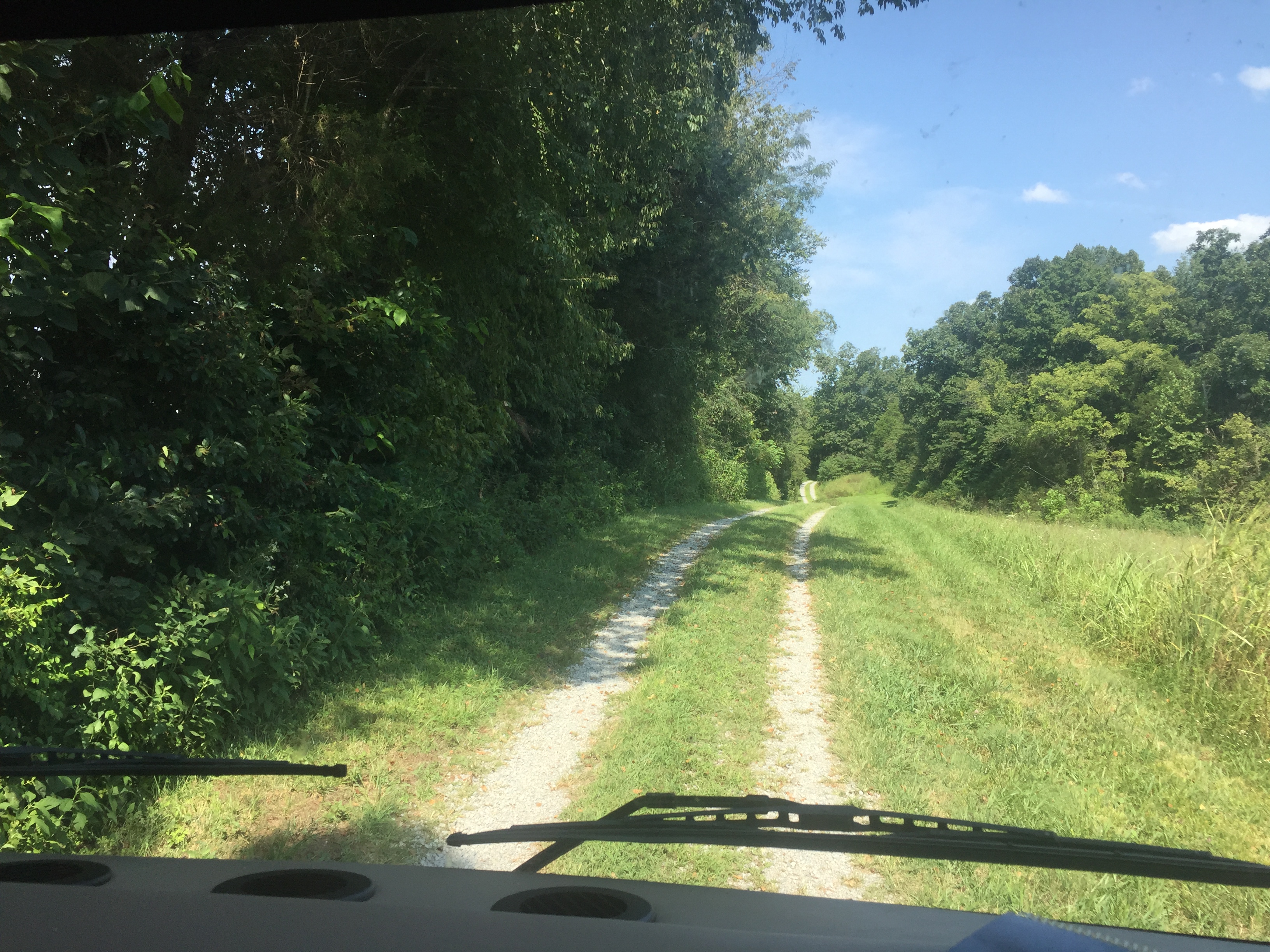
Mohawk River
It’s my habit to pick up a road map at every state line we cross. Each Welcome Station has a nice pile of official state maps waiting on the counter. It’s one of the small courtesies still offered to travelers for free. There’s something about a paper map that’s just deeply satisfying – the creases of the paper, the colors of the lines, and the staggering size of the unfolded map. You can see the whole state at once in fabulous detail without having to scroll a tiny electronic screen. A paper map gives you a sense of your place in the state; where you’re going and how far you’ve come. And the detail offered in a paper map just can’t be found anywhere else. Google Maps will happily show where you can spend money, like the closest Starbucks or Arbys. But only the Official State Map will lead you to the Shrine of Saint Kateri.
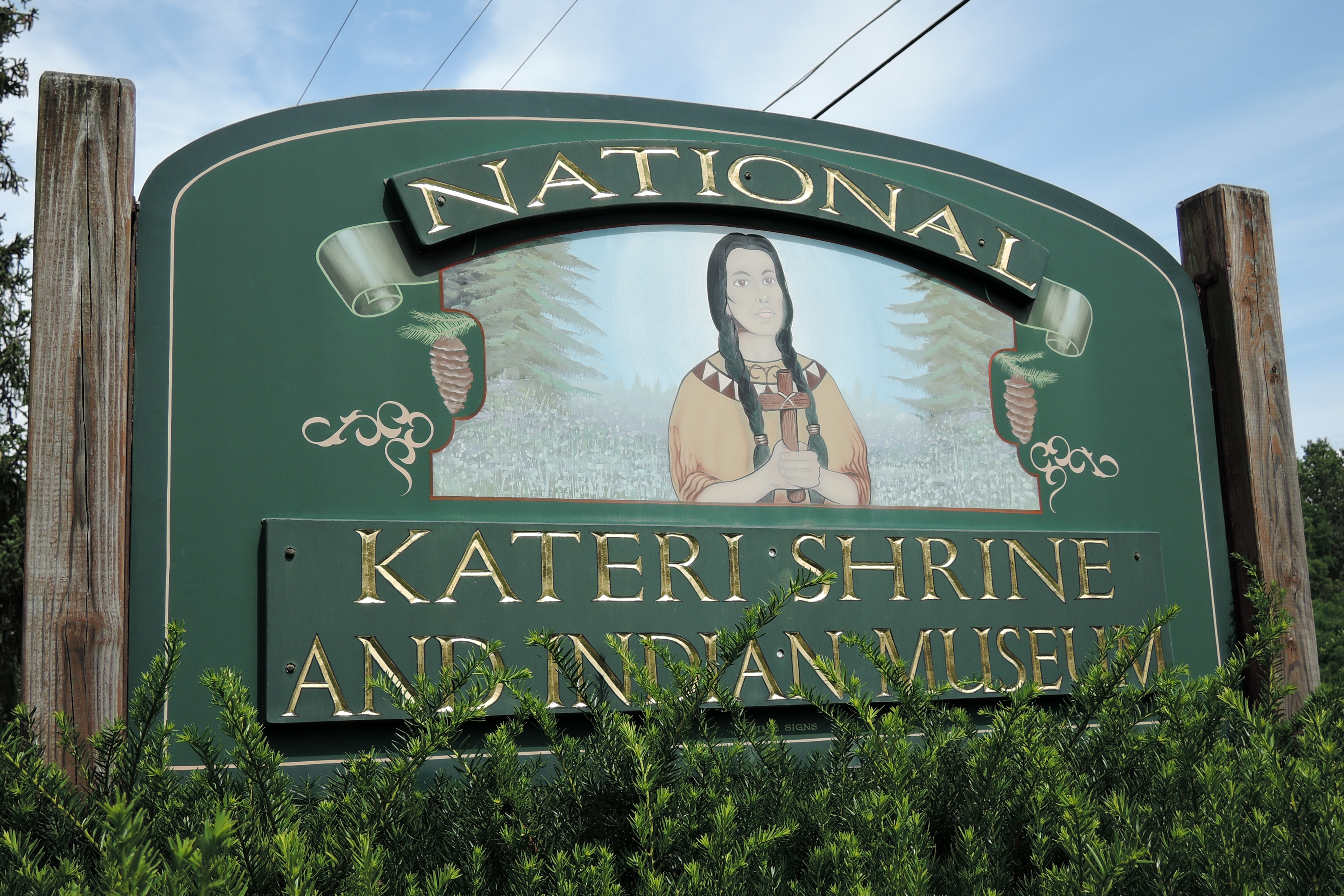
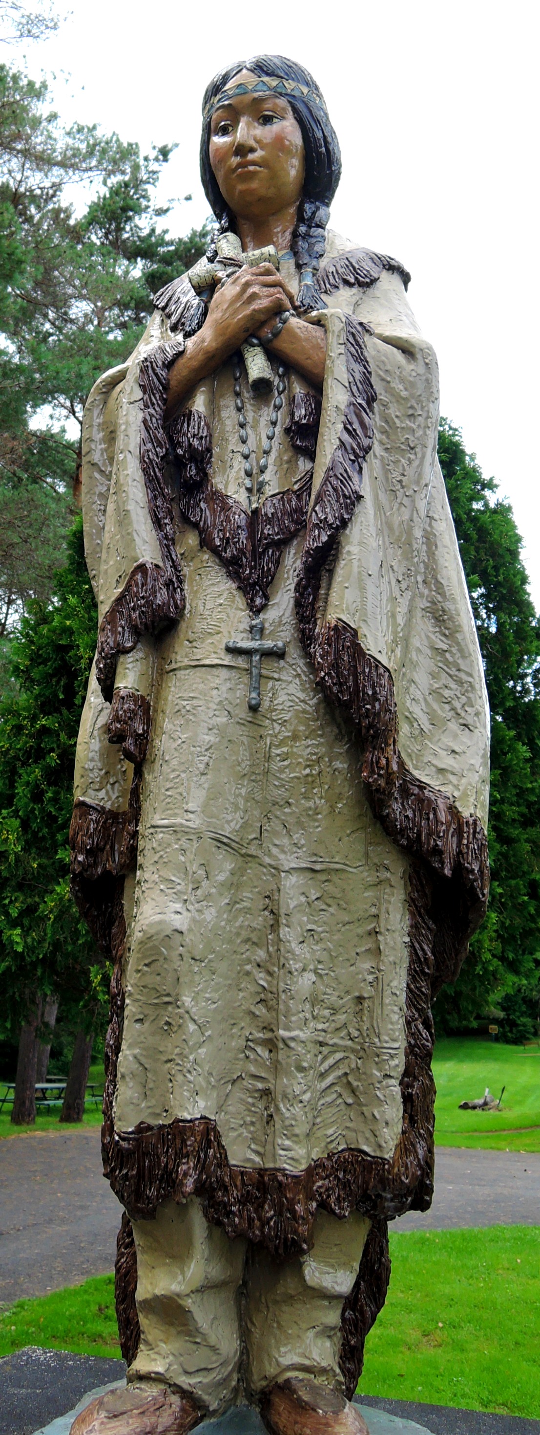
We stopped for lunch, dining en coach in the Shrine’s generous parking lot, then had a good look around at their museum and gift shop. Saint Kateri Tekakwitha was a Mohawk Indian Princess, born in 1656 in the same longhouse where Jesuit missionary Isaac Jogues was slain a decade earlier. She converted to Catholicism in her twenties and endured mistreatment by her tribe because of her faith. Her life story is fascinating, including surviving smallpox, and Saint Kateri only recently became canonized in 2012.

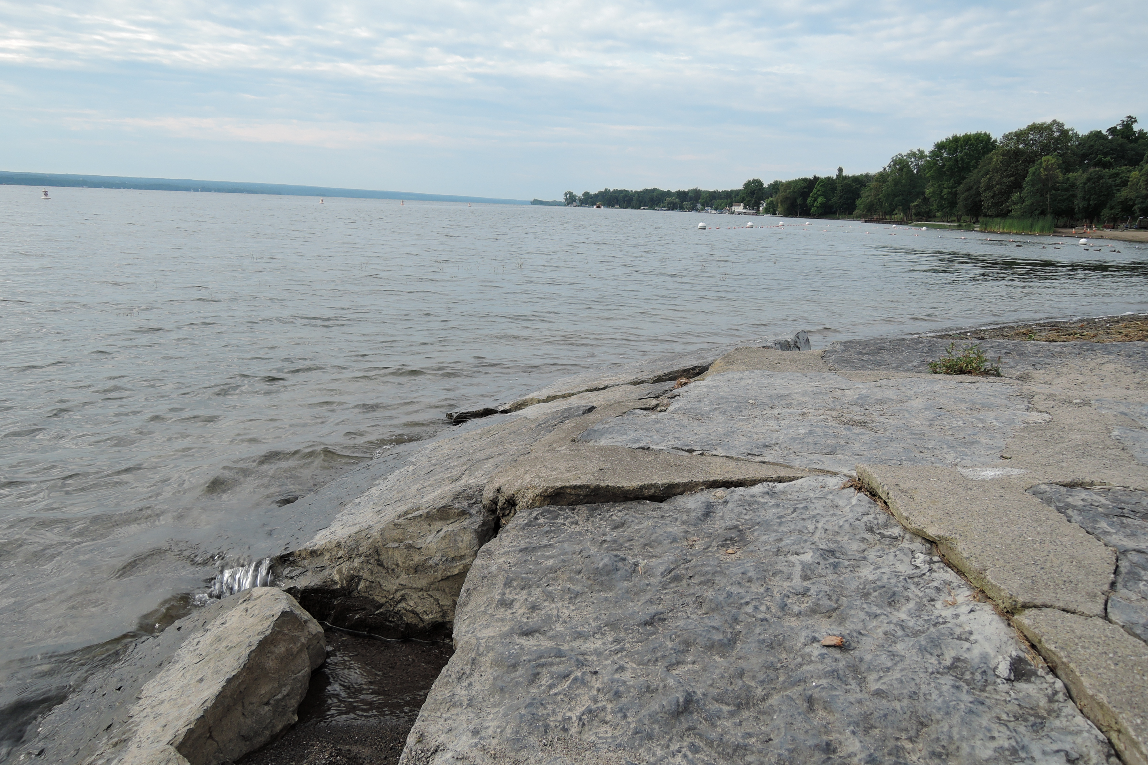
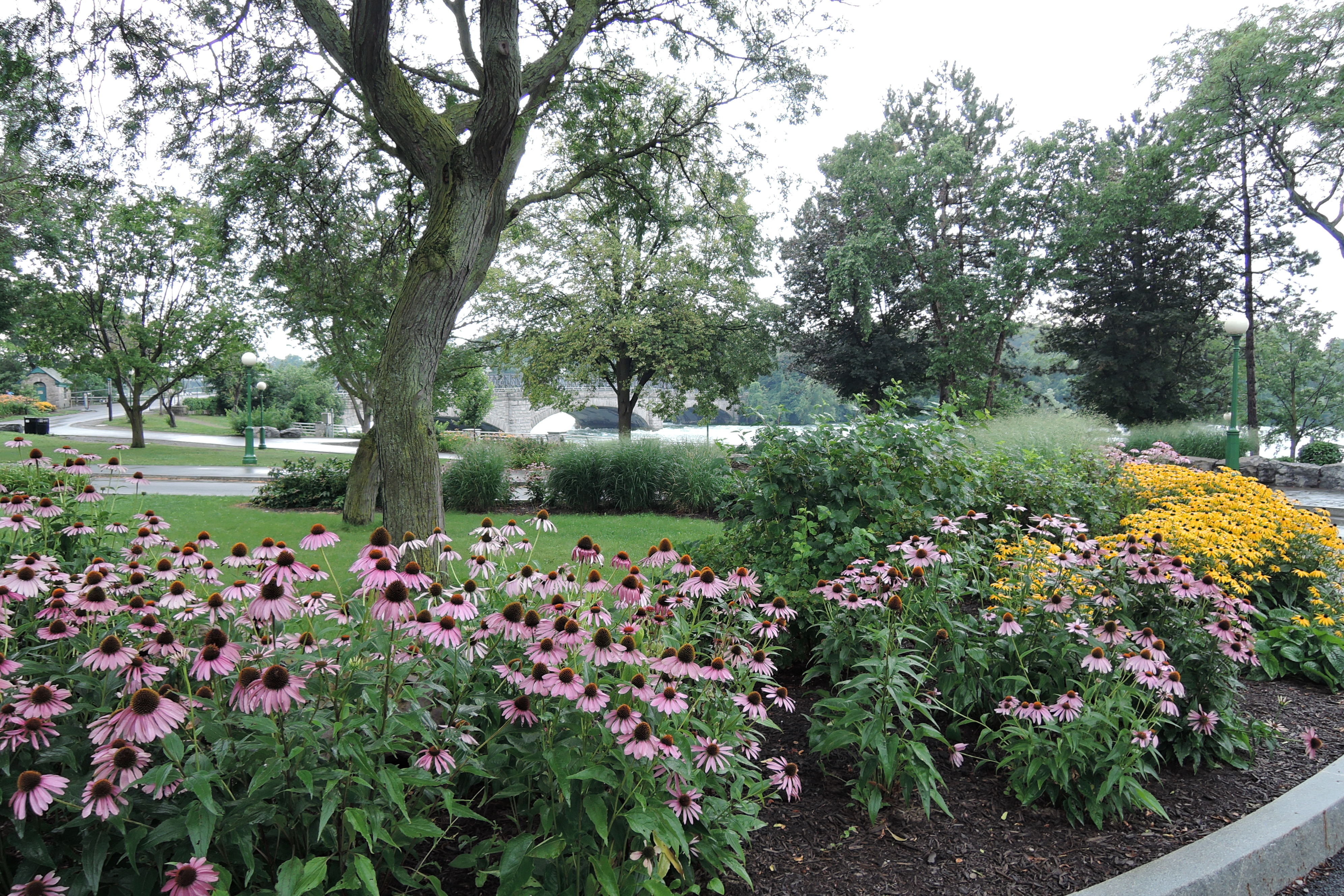
Our next port of call was at the tip of the Finger Lakes. Cayuga Lake State Park sits at the headwaters of this large lake. I wasn’t much impressed with the camping facilities. They were built before modern RVs made the scene so the roads are narrow and tight and we nearly got stuck down a dead end looking for our campsite. After making a twelve-point K turn between a ditch and grove of trees, we managed to stuff ourselves into a camping spot just wide enough for two tents. But the campground was only a short walk to the lake, which Coco and I enjoyed in both the evening and morning light.
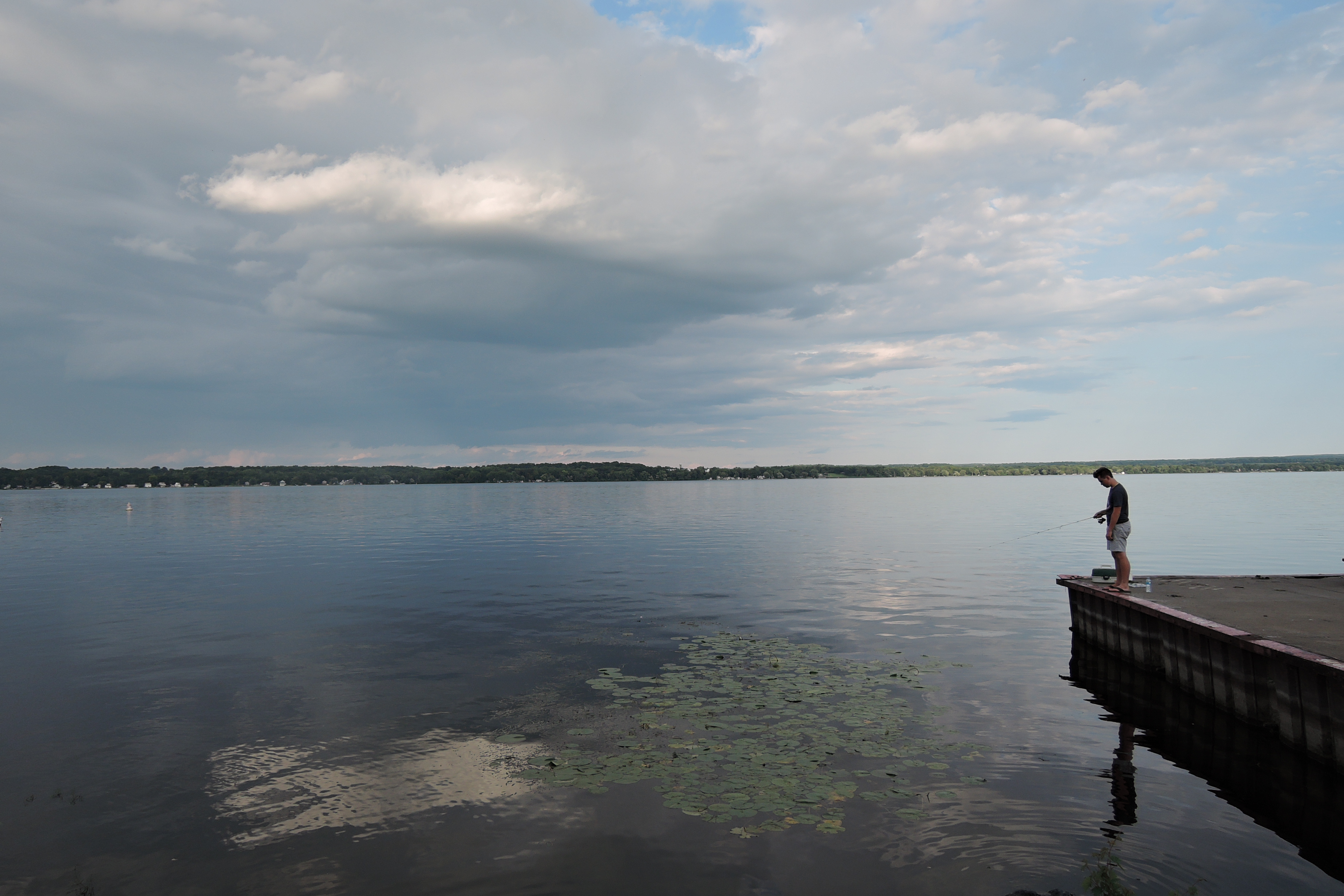
Cayuga Lake
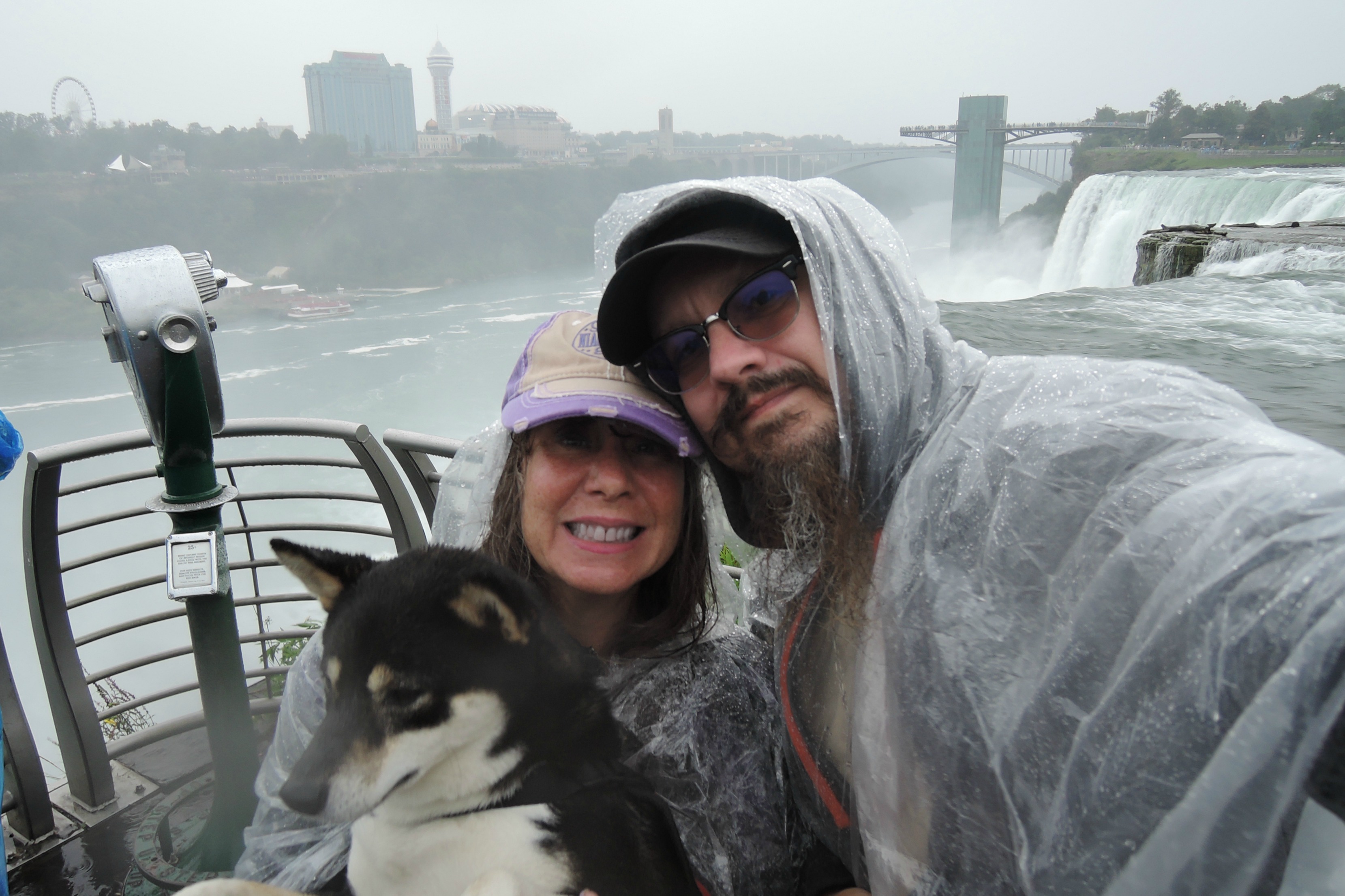
The next day found us on the backside of Buffalo, NY, which meant that Niagara Falls was not far away. We’ve been to the Canadian side many times, but had never seen the Falls from the American side, so it seemed like a good way to break up our long drive. We followed the signs to Niagara State Park, and coming off the highway were met with a dire choice: Bridge To Canada or Niagara Parkway with a 12’ clearance. Gulp! We had no passports for entry into Canada and our RV is 12’ 4”. There were a few panicked moments, grinding the brakes to a halt on the ramp, and then we spotted a truck route sign. Whew!

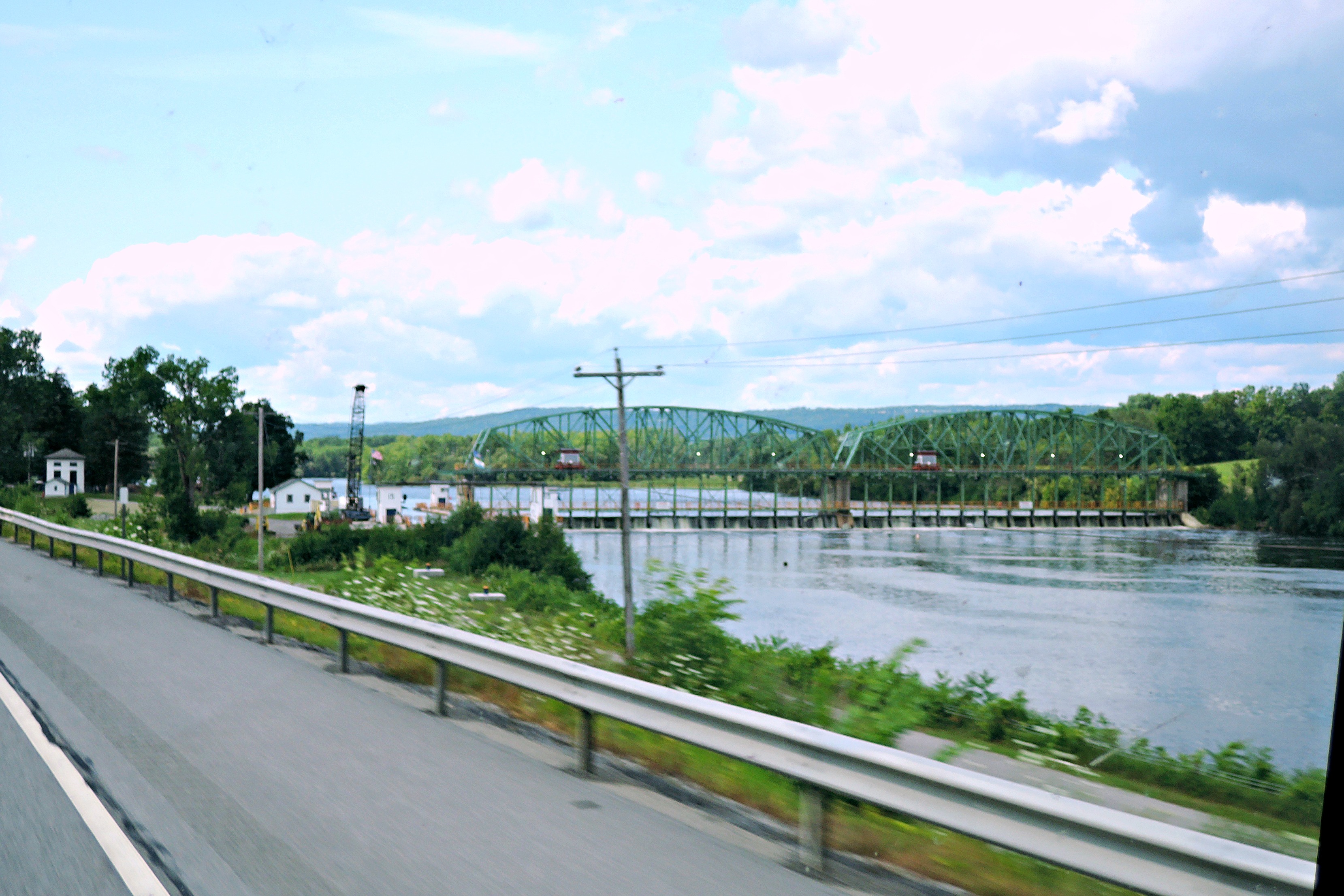
Niagara River
The truck route twisted us all around and we ended up in the middle of the congested town of Niagara, NY, filled with pedestrians and construction. No matter, I just kept floundering around the streets until I found a parking lot big enough to fit the motorhome. We heard that Goat Island has RV parking, but somehow we missed that sign with all the construction confusion.
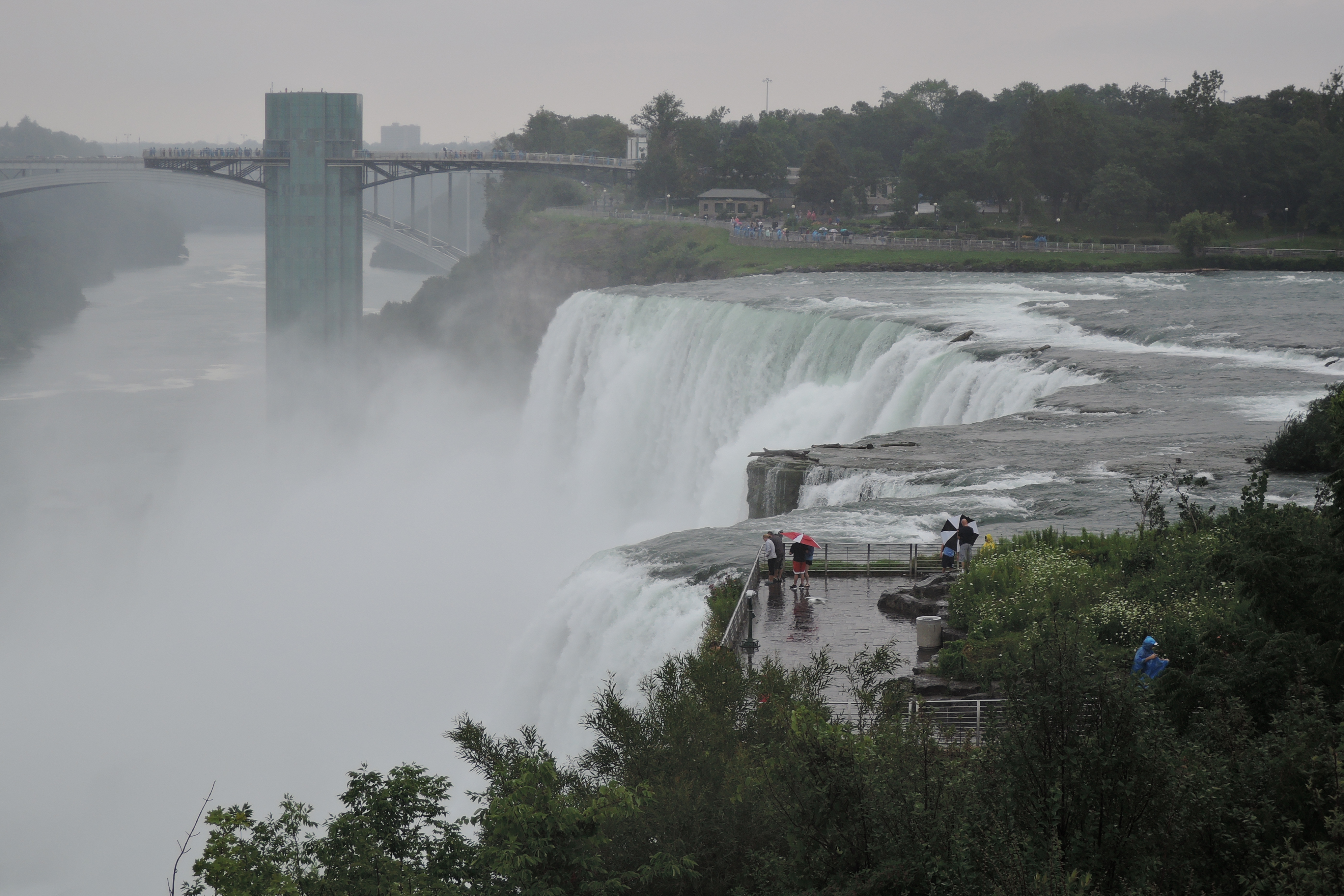
Bridal Falls
It started raining as soon as we stepped out of the RV, and quit an hour later the moment we returned to the motorhome. No matter again. Tim bought us rain ponchos and we walked around the park sloshing in our sneakers. It was worth the wet diversion. Although the poor dog wasn’t quite as entertained as we were.
Niagara State Park
The next day we crossed into Ohio. The Welcome Center at the state line was unhappily closed for repair, so I didn’t get a paper map. Which made a big difference immediately when the GPS sent us in the wrong direction at an interstate split. We corrected by turning off at the next exit, and got a good look at the giant GM plant in Lordstown. Just think, if I’d had an Official Ohio map we would have stayed on the right road and missed the thrill of seeing where the Chevy Cruze is made.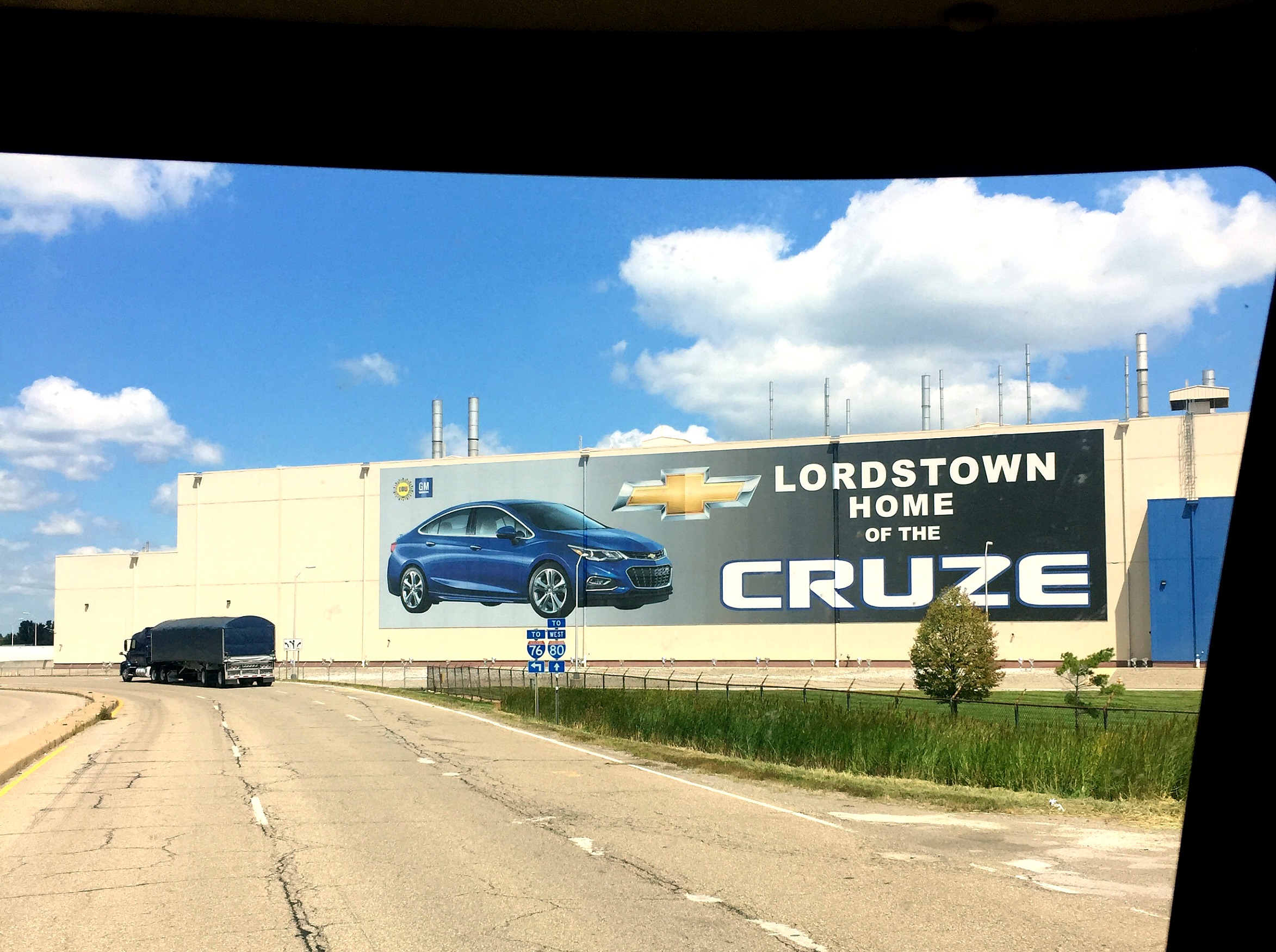
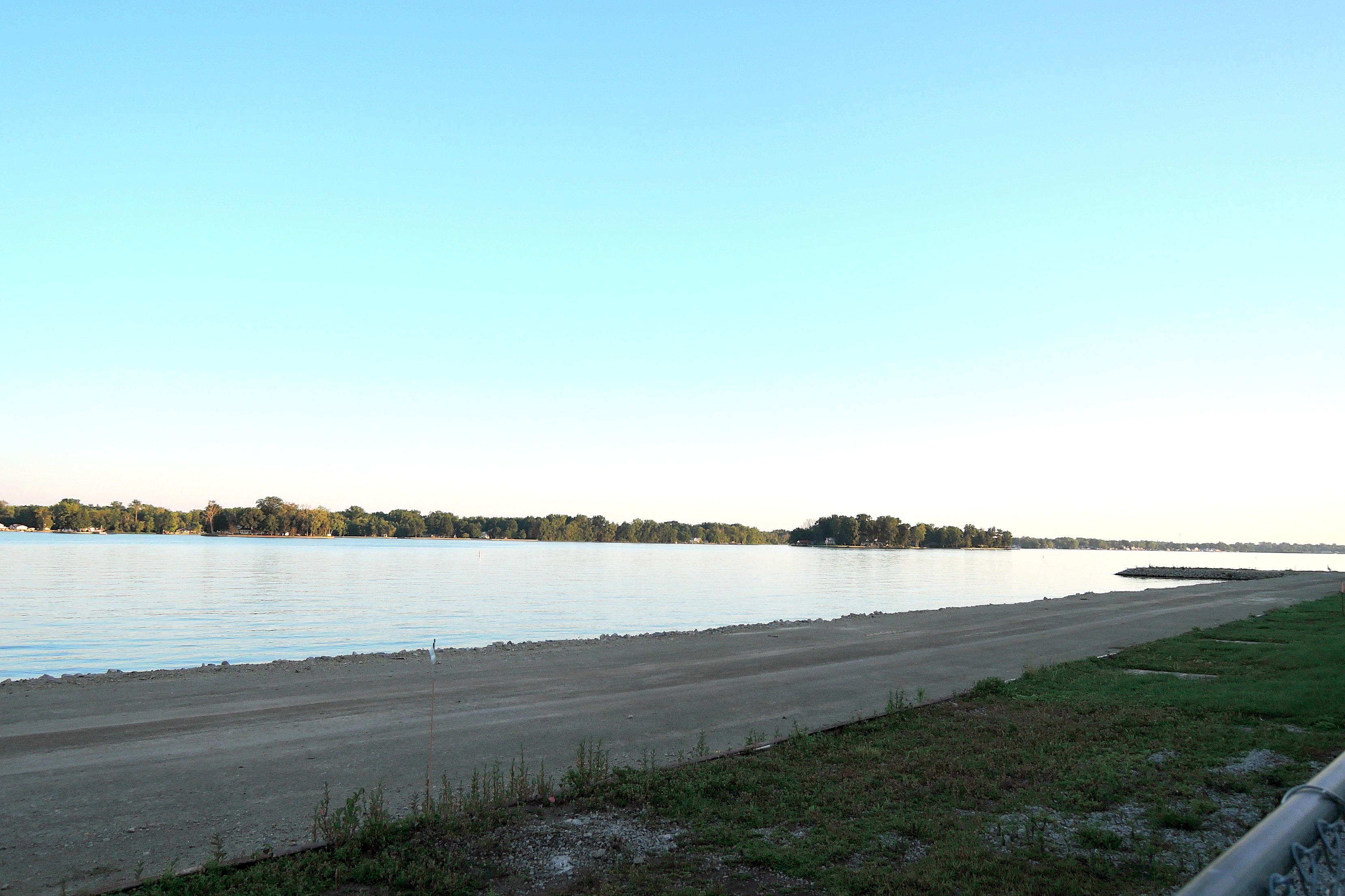
Our final waterway stop was to overnight at Buckeye Lake in Ohio. Back in the 1820’s a canal system ran through this area delivering goods eventually to the Mississippi River. But the canal went dry in the summer, so a swamp was dammed to provide a reservoir of water to feed the canal.

Fast forward 100 years and the railroads made the canal system obsolete by the 1900’s. Convict labor was used to fortify the dam and create a 13 mile levee, and the swamp was renamed Buckeye Lake. Summer homes sprang up all along the dike, and the area became a swanky retreat. Dave Thomas, founder of Wendy’s, once owned a private island in the middle of Buckeye Lake.
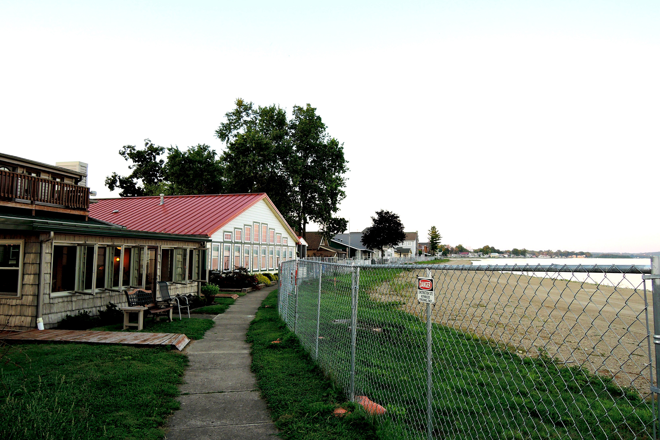
Buckeye Lake
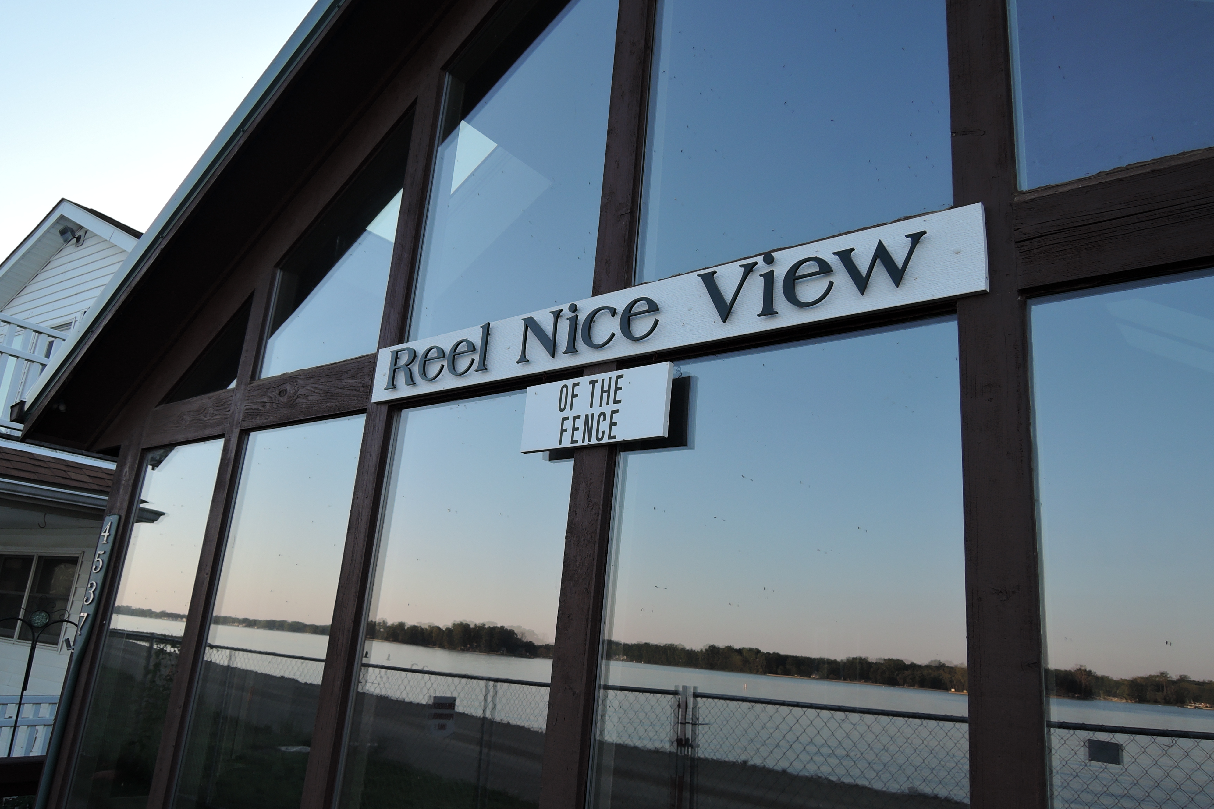
Wind the clock ahead another century to today and you’ll find a massive repair effort around Buckeye Lake. A huge fence has been erected just steps away from people’s porches. The state kicked all the boats off the lake, ripped out residents’ expensive docks, and drained the lake to rebuild the seawall. That was two years ago. Just this month they finally lifted the water level, and next they’ll build a boardwalk all the way around the lake. It’s been a 3 year project, and the poor folks who live there have had to endure the loss of their lake all this time.
After touring the great waterways on our long drive back we’re happy to be home and landlocked once again. No matter. We like it here, too.